Map: La Junta CO (MINERAL)- CO133SM
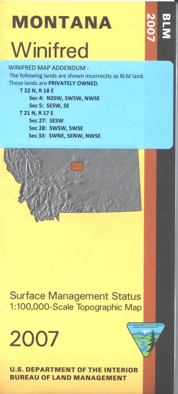
The BLM quadrant maps are scaled at 1:100,000, and cover an area of about 30 x 50 miles. The Comanche National Grassland stretches across much of this area with camping at Vogell Canyon south of La Junta. Hiking trails are marked on the map. Ownership status is denoted by color, and roads, lakes, streams, recreation sites, and other topographical features are marked on these maps. Map is useful for Colorado Hunting Units 129, 130,135,136,137,142 and 146. Currently only the version with mineral management and surface management is available. 2009
This is a mineral management map, with an additional layer showing below-surface mineral rights.
The BLM quadrant maps are scaled at 1:100,000, and cover an area of about 30 x 50 miles. The Comanche National Grassland stretches across much of this area with camping at Vogell Canyon south of La Junta. Hiking trails are marked on the map. Ownership status is denoted by color, and roads, lakes, streams, recreation sites, and other topographical features are marked on these maps. Map is useful for Colorado Hunting Units 129, 130,135,136,137,142 and 146. Currently only the version with mineral management and surface management is available. 2009
This is a mineral management map, with an additional layer showing below-surface mineral rights.
Original: $8.99
-65%$8.99
$3.15Description
The BLM quadrant maps are scaled at 1:100,000, and cover an area of about 30 x 50 miles. The Comanche National Grassland stretches across much of this area with camping at Vogell Canyon south of La Junta. Hiking trails are marked on the map. Ownership status is denoted by color, and roads, lakes, streams, recreation sites, and other topographical features are marked on these maps. Map is useful for Colorado Hunting Units 129, 130,135,136,137,142 and 146. Currently only the version with mineral management and surface management is available. 2009
This is a mineral management map, with an additional layer showing below-surface mineral rights.