Map: Medicine Bow WY - WY032S
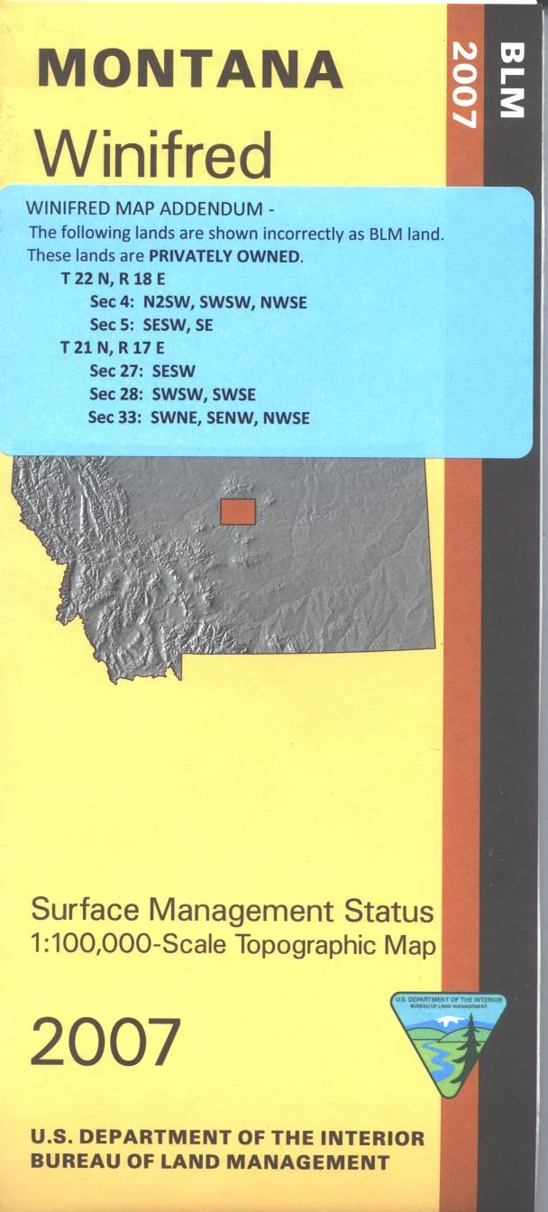
From Medicine Bow explore BLM lands to the west and south. From Arlington explore the north part of Medicine Bow National Forest with camping, and fishing at Bow River Campground. Recreation on the North Platte River south of Walcott Junction includes camping, fishing, and boating. The BLM quadrant maps are scaled at 1:100,000, and cover an area of about 30 x 50 miles. Official Bureau of Land Management metric topographic map @1:100,000 scale (roughly 3/4"`1 mile), color-coded to show surface management, i.e. agency vs. private or tribal ownership. Map shows color coded public and private ownership, roads, water features, recreation sites, points of interest, and the township and range lines. Use the map for OHV use, and WY Deer 64, 70, 74, 75, 79, and 161; WY Elk HU 7, 10, 11, 12, 16, 114, and 125. 2013
From Medicine Bow explore BLM lands to the west and south. From Arlington explore the north part of Medicine Bow National Forest with camping, and fishing at Bow River Campground. Recreation on the North Platte River south of Walcott Junction includes camping, fishing, and boating. The BLM quadrant maps are scaled at 1:100,000, and cover an area of about 30 x 50 miles. Official Bureau of Land Management metric topographic map @1:100,000 scale (roughly 3/4"`1 mile), color-coded to show surface management, i.e. agency vs. private or tribal ownership. Map shows color coded public and private ownership, roads, water features, recreation sites, points of interest, and the township and range lines. Use the map for OHV use, and WY Deer 64, 70, 74, 75, 79, and 161; WY Elk HU 7, 10, 11, 12, 16, 114, and 125. 2013
Original: $8.99
-65%$8.99
$3.15Description
From Medicine Bow explore BLM lands to the west and south. From Arlington explore the north part of Medicine Bow National Forest with camping, and fishing at Bow River Campground. Recreation on the North Platte River south of Walcott Junction includes camping, fishing, and boating. The BLM quadrant maps are scaled at 1:100,000, and cover an area of about 30 x 50 miles. Official Bureau of Land Management metric topographic map @1:100,000 scale (roughly 3/4"`1 mile), color-coded to show surface management, i.e. agency vs. private or tribal ownership. Map shows color coded public and private ownership, roads, water features, recreation sites, points of interest, and the township and range lines. Use the map for OHV use, and WY Deer 64, 70, 74, 75, 79, and 161; WY Elk HU 7, 10, 11, 12, 16, 114, and 125. 2013