Map: Missoula East MT - MT1132S
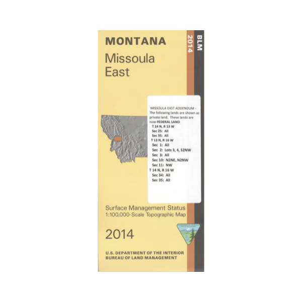
From Missoula travel north or south to access Lolo National Forests areas. Camping, hiking, horseback riding, or fishing opportunities available. Scenic driving near Welcome Creek Wilderness east boundary with campgrounds marked. Explore the BLM lands east of Missoula, trailheads, fishing sites, and campgrounds are shown. Official Bureau of Land Management metric topographic map @1:100,000 scale (roughly 3/4"`1 mile), color-coded to show surface management, i.e. agency vs. private or tribal ownership. Map shows color coded public and private
ownership, roads, water features, recreation sites, points of interest, and the township
and range lines. Use this map for OHV use, and hunting Deer, Elk, and Mountain Lion in Units 204, 210, 212, 216, 283, 291 and 292; and for hunting Moose in Units 210, 212, 261, 285, 291, and 292. 2014 edition
From Missoula travel north or south to access Lolo National Forests areas. Camping, hiking, horseback riding, or fishing opportunities available. Scenic driving near Welcome Creek Wilderness east boundary with campgrounds marked. Explore the BLM lands east of Missoula, trailheads, fishing sites, and campgrounds are shown. Official Bureau of Land Management metric topographic map @1:100,000 scale (roughly 3/4"`1 mile), color-coded to show surface management, i.e. agency vs. private or tribal ownership. Map shows color coded public and private
ownership, roads, water features, recreation sites, points of interest, and the township
and range lines. Use this map for OHV use, and hunting Deer, Elk, and Mountain Lion in Units 204, 210, 212, 216, 283, 291 and 292; and for hunting Moose in Units 210, 212, 261, 285, 291, and 292. 2014 edition
Original: $8.99
-65%$8.99
$3.15Description
From Missoula travel north or south to access Lolo National Forests areas. Camping, hiking, horseback riding, or fishing opportunities available. Scenic driving near Welcome Creek Wilderness east boundary with campgrounds marked. Explore the BLM lands east of Missoula, trailheads, fishing sites, and campgrounds are shown. Official Bureau of Land Management metric topographic map @1:100,000 scale (roughly 3/4"`1 mile), color-coded to show surface management, i.e. agency vs. private or tribal ownership. Map shows color coded public and private
ownership, roads, water features, recreation sites, points of interest, and the township
and range lines. Use this map for OHV use, and hunting Deer, Elk, and Mountain Lion in Units 204, 210, 212, 216, 283, 291 and 292; and for hunting Moose in Units 210, 212, 261, 285, 291, and 292. 2014 edition