Map: Mount Baker-Snoqualmie National Forest (Mt. Baker Ranger District) WA
From the Canadian border south to Rockport, explore incredible trails, mountain peaks, and winter fun. Travel the Mount Baker Highway for countless miles of trails and abundant developed campsites. Hike into the nearby wildernesses to get a taste of alpine hiking, or travel south of Rockport to Baker Lake for fantastic water recreation.
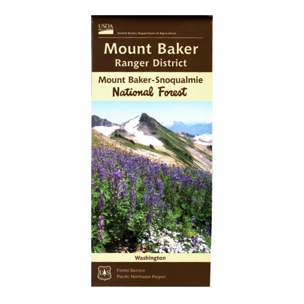
This map covers the Mount Baker Ranger District of the Mount Baker-Snoqualmie National Forest. Features areas from the Canadian border to Rockport, including portions of the North Cascades National Park, as well as the Mount Baker Wilderness, Noisy-Diosbud Wilderness, and Glacier Peak Wilderness.
Map shows color-coded federal, state, and private lands, recreation information, roads, water features, recreation sites, corrals, other forest service facilities, place names, points of interest, and township and range lines.
Forest roads, trails, and campgrounds are clearly marked. Scale is 1" = 1 mile. Use map for WA Hunting Units 418, 437.
From the Canadian border south to Rockport, explore incredible trails, mountain peaks, and winter fun. Travel the Mount Baker Highway for countless miles of trails and abundant developed campsites. Hike into the nearby wildernesses to get a taste of alpine hiking, or travel south of Rockport to Baker Lake for fantastic water recreation.
This map covers the Mount Baker Ranger District of the Mount Baker-Snoqualmie National Forest. Features areas from the Canadian border to Rockport, including portions of the North Cascades National Park, as well as the Mount Baker Wilderness, Noisy-Diosbud Wilderness, and Glacier Peak Wilderness.
Map shows color-coded federal, state, and private lands, recreation information, roads, water features, recreation sites, corrals, other forest service facilities, place names, points of interest, and township and range lines.
Forest roads, trails, and campgrounds are clearly marked. Scale is 1" = 1 mile. Use map for WA Hunting Units 418, 437.
Original: $19.99
-65%$19.99
$7.00Description
From the Canadian border south to Rockport, explore incredible trails, mountain peaks, and winter fun. Travel the Mount Baker Highway for countless miles of trails and abundant developed campsites. Hike into the nearby wildernesses to get a taste of alpine hiking, or travel south of Rockport to Baker Lake for fantastic water recreation.
This map covers the Mount Baker Ranger District of the Mount Baker-Snoqualmie National Forest. Features areas from the Canadian border to Rockport, including portions of the North Cascades National Park, as well as the Mount Baker Wilderness, Noisy-Diosbud Wilderness, and Glacier Peak Wilderness.
Map shows color-coded federal, state, and private lands, recreation information, roads, water features, recreation sites, corrals, other forest service facilities, place names, points of interest, and township and range lines.
Forest roads, trails, and campgrounds are clearly marked. Scale is 1" = 1 mile. Use map for WA Hunting Units 418, 437.