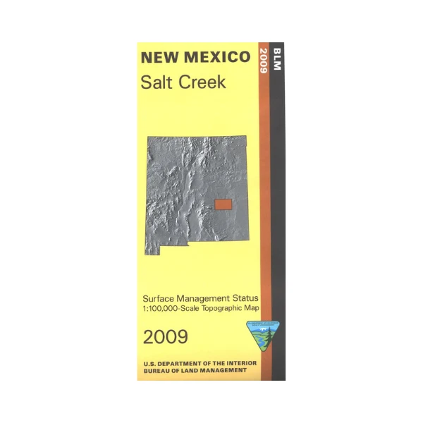
Map: Salt Creek NM - NM046S
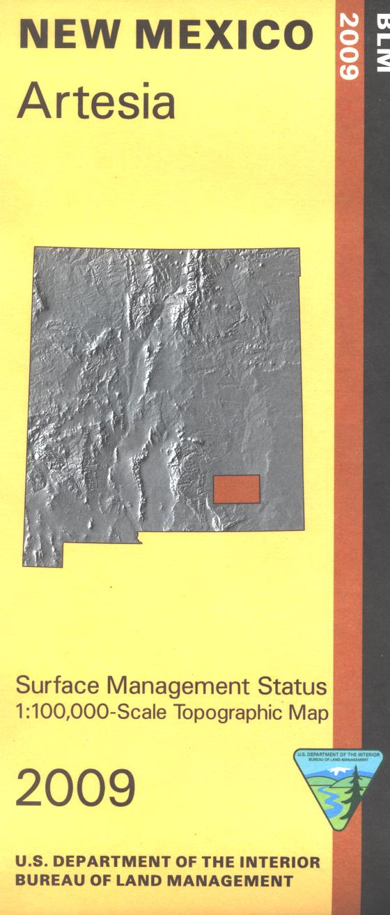
Official Bureau of Land Management topographic maps @1:100,000 metric scale (roughly 3/4" = 1 mile), are color-coded to show federally-managed public lands; plus state, private, or tribal lands, military withdrawals, roads and trails, lakes, rivers and streams, and developed recreation areas. This is a great map to have while stalking game in Hunting Units 32, 33, 37, and 38, fishing (where available), wildlife watching, hiking, backpacking, mountain biking, camping, or OHV and ATV riding at Haystack Mountain Off Highway Vehicle Area. Wildlife viewing at Bitter Lake Wildlife Refuge. Includes roads and lands in Chavez and Lincoln Counties. 2009
Official Bureau of Land Management topographic maps @1:100,000 metric scale (roughly 3/4" = 1 mile), are color-coded to show federally-managed public lands; plus state, private, or tribal lands, military withdrawals, roads and trails, lakes, rivers and streams, and developed recreation areas. This is a great map to have while stalking game in Hunting Units 32, 33, 37, and 38, fishing (where available), wildlife watching, hiking, backpacking, mountain biking, camping, or OHV and ATV riding at Haystack Mountain Off Highway Vehicle Area. Wildlife viewing at Bitter Lake Wildlife Refuge. Includes roads and lands in Chavez and Lincoln Counties. 2009
Original: $8.99
-65%$8.99
$3.15Description
Official Bureau of Land Management topographic maps @1:100,000 metric scale (roughly 3/4" = 1 mile), are color-coded to show federally-managed public lands; plus state, private, or tribal lands, military withdrawals, roads and trails, lakes, rivers and streams, and developed recreation areas. This is a great map to have while stalking game in Hunting Units 32, 33, 37, and 38, fishing (where available), wildlife watching, hiking, backpacking, mountain biking, camping, or OHV and ATV riding at Haystack Mountain Off Highway Vehicle Area. Wildlife viewing at Bitter Lake Wildlife Refuge. Includes roads and lands in Chavez and Lincoln Counties. 2009