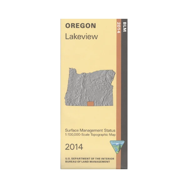
Map: Lakeview OR - OR034S
From Lakeview travel east or west to access sections of Fremont National Forest with opportunities for camping, hiking, mountain biking, horse riding, fishing, and boating. Explore the forest roads leading to Dog Lake or Fishhole Lake Recreation Areas, scenic drive the back country byways, or hike,bike,and horse ride the national recreation trails. Official Bureau of Land Management metric topographic map
@1:100,000 scale (roughly 3/4" = 1 mile), color-coded to show surface
management, i.e. agency vs. private or tribal ownership. Map shows roads, water features, recreation sites, points of interest, and the township
and range lines. Map is useful for OR hunting Units 74 and 75. 2014
From Lakeview travel east or west to access sections of Fremont National Forest with opportunities for camping, hiking, mountain biking, horse riding, fishing, and boating. Explore the forest roads leading to Dog Lake or Fishhole Lake Recreation Areas, scenic drive the back country byways, or hike,bike,and horse ride the national recreation trails. Official Bureau of Land Management metric topographic map
@1:100,000 scale (roughly 3/4" = 1 mile), color-coded to show surface
management, i.e. agency vs. private or tribal ownership. Map shows roads, water features, recreation sites, points of interest, and the township
and range lines. Map is useful for OR hunting Units 74 and 75. 2014
Original: $8.99
-65%$8.99
$3.15Description
From Lakeview travel east or west to access sections of Fremont National Forest with opportunities for camping, hiking, mountain biking, horse riding, fishing, and boating. Explore the forest roads leading to Dog Lake or Fishhole Lake Recreation Areas, scenic drive the back country byways, or hike,bike,and horse ride the national recreation trails. Official Bureau of Land Management metric topographic map
@1:100,000 scale (roughly 3/4" = 1 mile), color-coded to show surface
management, i.e. agency vs. private or tribal ownership. Map shows roads, water features, recreation sites, points of interest, and the township
and range lines. Map is useful for OR hunting Units 74 and 75. 2014