Map: Oakridge OR - OR046S
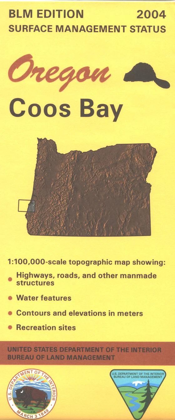
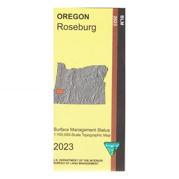
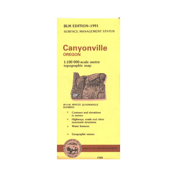
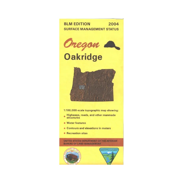
Map shows Oakridge, Umatilla National Forest to the west, and Willamette National Forest to the east including Waldo Lake and Wilderness. Also includes Odell Lake and part of Diamond Peak Wilderness in Deschutes National Forest. Travel northwest of Oakridge to Lookout Point Lake, Dexter Lake, and Fall Creek Lake for camping, boating, and fishing opportunities. Explore the forest roads from Oakridge with scenic driving, camping, fishing, and hiking possibilities. Official Bureau of Land Management metric topographic map
@1:100,000 scale (roughly 3/4"`1 mile), color-coded to show surface
management, i.e. agency vs. private or tribal ownership. This map shows roads, water features, recreation sites, points of interest, and the township
and range lines. Useful for OR Hunting Units 19, 21, and 77. 2004
Map shows Oakridge, Umatilla National Forest to the west, and Willamette National Forest to the east including Waldo Lake and Wilderness. Also includes Odell Lake and part of Diamond Peak Wilderness in Deschutes National Forest. Travel northwest of Oakridge to Lookout Point Lake, Dexter Lake, and Fall Creek Lake for camping, boating, and fishing opportunities. Explore the forest roads from Oakridge with scenic driving, camping, fishing, and hiking possibilities. Official Bureau of Land Management metric topographic map
@1:100,000 scale (roughly 3/4"`1 mile), color-coded to show surface
management, i.e. agency vs. private or tribal ownership. This map shows roads, water features, recreation sites, points of interest, and the township
and range lines. Useful for OR Hunting Units 19, 21, and 77. 2004
Original: $8.99
-65%$8.99
$3.15Description
Map shows Oakridge, Umatilla National Forest to the west, and Willamette National Forest to the east including Waldo Lake and Wilderness. Also includes Odell Lake and part of Diamond Peak Wilderness in Deschutes National Forest. Travel northwest of Oakridge to Lookout Point Lake, Dexter Lake, and Fall Creek Lake for camping, boating, and fishing opportunities. Explore the forest roads from Oakridge with scenic driving, camping, fishing, and hiking possibilities. Official Bureau of Land Management metric topographic map
@1:100,000 scale (roughly 3/4"`1 mile), color-coded to show surface
management, i.e. agency vs. private or tribal ownership. This map shows roads, water features, recreation sites, points of interest, and the township
and range lines. Useful for OR Hunting Units 19, 21, and 77. 2004